Feedback: Your comments on Stein Valley Wilderness Guidebook and conditions in and adjacent to the Stein is welcome. Please contact me (gordon@steinvalleyguide.com) with any corrections, omissions, and conditions changes so that I can update future editions of the Stein Guidebook and also inform other backcountry adventurers via this website.
Updates
The following is an update on road access and trail & route conditions in and adjacent to Stein Valley Nlaka’pamux Heritage Park.
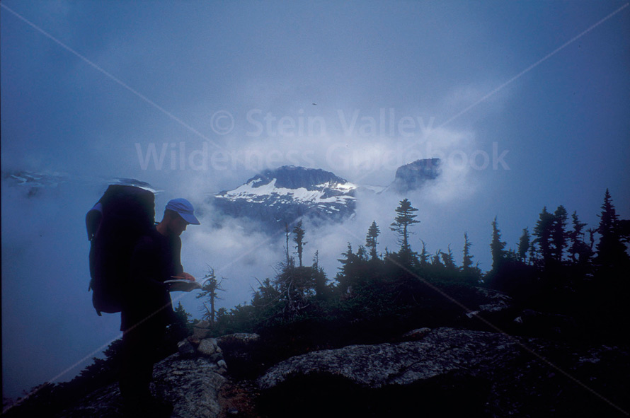
Photo: Ruth Tubbesing
Cottonwood Junction to Cottonwood Creek, trip 41, p. 159
While the vast majority of the eastern parts of the Stein that burned in the 2009 fire were relatively lightly touched, the trail north of Unnecessary Knob to Cottonwood Junction (Cottonwood Forks on BC Parks website) was heavily burned. In fact, when I hiked through this trail immediately after the fire in September 2009, the ash was shin deep in places! Forest regeneration is now taking place, which means some tedious travel through vast stretches of Fireweed and trying side-hilling on a few sections of the trail. A BC Parks trail crew repaired the trail from 2 km east of the Silver Queen Mine junction to Cottonwood Junction (Forks) in 2012 (including replacing the bridge over Cattle Valley Creek), but some route finding will likely be required due to the inevitable new vegetation that comes after a fire.
Ponderosa Creek to Cottonwood Creek, trip 10, p. 105
The 2009 fire burned sections of this trail close to Cottonwood Creek, necessitating slower hiking times in order to ensure that one stays on the trail. Allow an extra 30 – 45 minutes to travel this section.
Silver Queen Mine to Stein River (“Angel’s Walk”), trip 40, p. 157
Windfall and general forest fire debris from the 2009 fire that burned extensively in the lower Cottonwood drainage has undoubtedly made this scenic ramble even more trying in the lower sections of the ridge above Cottonwood Camp the Stein River. Allow extra time for travel and consider wearing gaiters as there is always deadfall to travel over, under and through on this route.
Texas Creek Road, p. 25
This access road to the Siwhe Creek and Cottonwood drainage alpine, has been re-opened. You still need a high clearance vehicle to make it to the Brimful Lake and Siwhe Creek – Stein divide trailheads (a 4WD is recommended, but not essential) given the deep water bars on the upper part of this road.
 Stein Valley Wilderness Guidebook – 2nd edition
No comments yet.